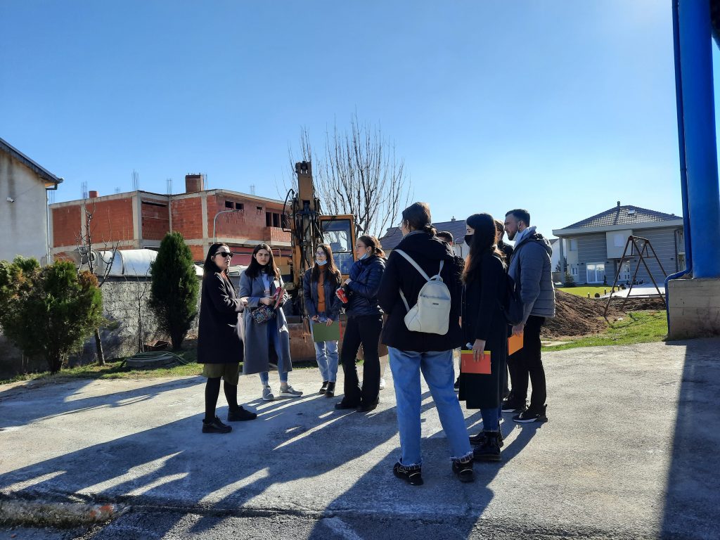
Students captured photographs, 360 degree video and audio in and effort to documentthe sites in the present. These materials were set up in folders based on where the images, video and audiowas recorded from and numbered. A google map of each site was then numbered corresponding to each locale.
Additionally, using their mobile phone cameras, students took turns in filming each other they toured their respective sites. As they walked through the spaces they shared their candid thoughts about the history of the site, the design and current usage of the space, as well as thoughts on what the space could be used for in future based on urban planning.