Robert Chambers defined walking and mapping as two of the different participatory methods that are used by the population to share, enhance and analyze the conditions of a given space, in order to plan and act accordingly.
As part of the ReSpace project, participants conducted sites visits during which they performed mapping as one of the methods of understanding the different sites that were visited.
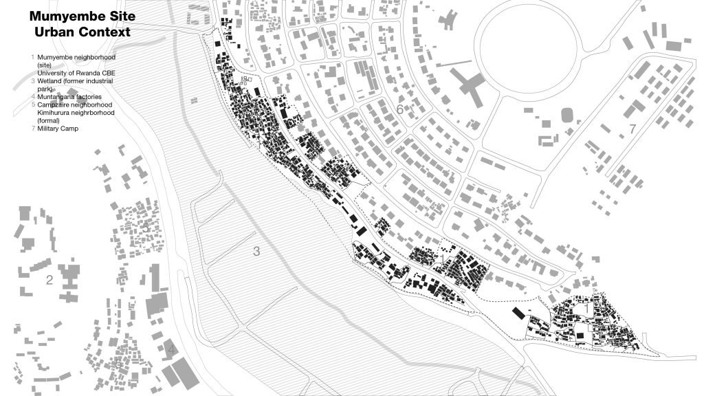
The mapping was done in two ways; in the first place participants printed out an aerial photograph that was used to geographically locate the sites and to see which itinerary to take. This map was mainly used before the site visit begins and it was used to identify the major areas of the site like green areas, built areas and different open spaces.
In the second place, participants produced mind maps or informal maps. Once on site, participants produced these informal maps, which were based on the things that they observed on sites and which were unique to each site. These mind maps aren’t necessary precise but a reflection of what students remembers of the sites, the different routes taken, the different objects or assets that are appropriate to a site, distances walked, where they stopped and the different activities that were performed in those spaces.
Some of the mind maps were produced using sketches where students drew elements that are unique to each site. These maps are used to remember things visually, how they looked and their particularity. Other mind maps were produced using words. These type of maps were done in a way where participants drew a route that was taken and then using words, writing all the places that were visited, all the elements that were met, the type of smell that was found in a certain place, the temperature existing in the area and all the elements that can’t be drawn.
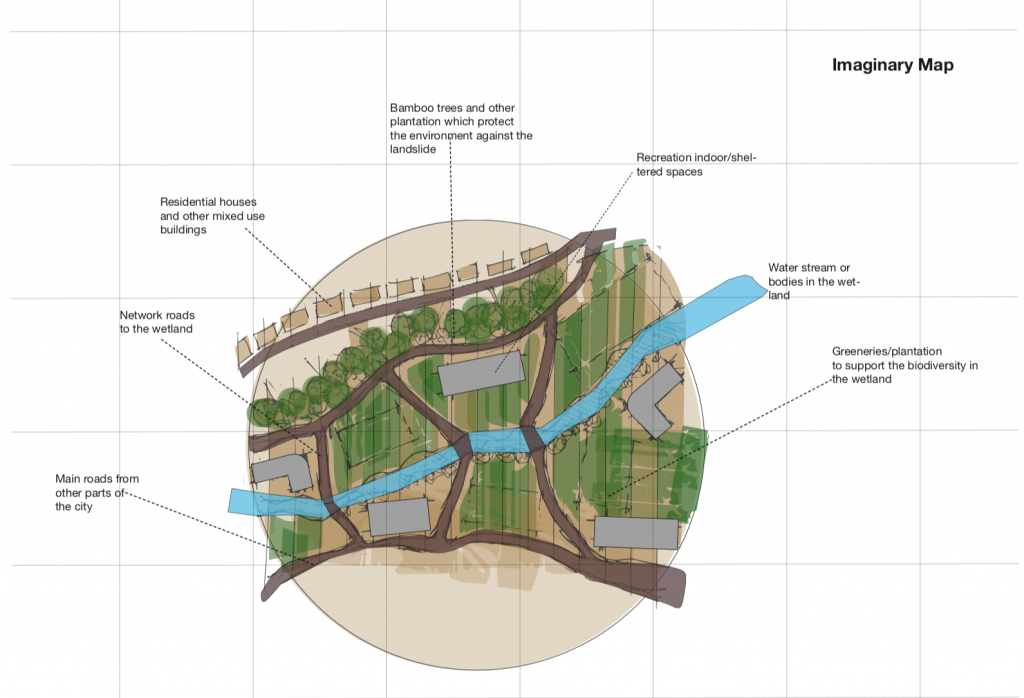
To think of space, place and its different representations is to look at maps. Maps describe place and come in different formats, but can also include information that goes beyond spatial cues. In ReSpace we looked at different types of maps and map making to encourage young people to consider the creative and inventive approaches to describing space.
Conceptual Maps, Real Maps, Memory Maps, Phenomenological Maps
“What distinguishes the map from the tracing is that it is entirely oriented toward an experimentation in contact with the real.’ (Deleuze and Guattari. 1987:12)
Corner, J. (2011), ‘The Agency of Mapping: Speculation, Critique and Invention’ in Dodge, M., Kitchin R., and Perkins C. (eds.) The Map Reader: Theories of Mapping Practice and Cartographic Representation, John Wiley & Sons, Ltd.